
How Reality Capture – Survey Solutions (RCSS) is using GeoCloud – at a glance:
Challenge
Manual data sharing: Teams relied on static images and documents and other file storage systems to share data across involved stakeholders
Limited visualisation: Sharing visualisations with clients and internal teams was difficult, slowing collaboration and review cycles
Inefficient file management: Multiple stakeholders worked from different file versions, leading to inconsistencies, rework, and lack of confidence in the data
Solution
Streamline collaboration across stakeholders: Enable seamless data sharing between stakeholders, subcontractors and clients, supporting more agile project execution
Remove heavy file handling for BIM workflows: Stream point clouds from Hexagon GeoCloud into Revit via the Leica CloudWorx plugin, eliminating downloads while maintaining performance and accuracy
Centralise data management and version control: Use Hexagon GeoCloud as a single source of truth to manage and share project data, keeping stakeholders aligned on the most current datasets
Value
Accelerate project delivery by up to 60%: Share datasets via browser-based links to eliminate data silos and manual transfers, reducing reliance on external storage and local infrastructure
From overnight transfers to under an hour: Sharing large project datasets as lightweight LGSx files via GeoCloud, eliminates the wait of moving 100 GB+ RCP files
Strengthen client engagement by sharing accurate, visual geodata: Use point clouds with specialists or meshes and panoramic imagery with stakeholders for collaborative deliverables and showcasing expertise.
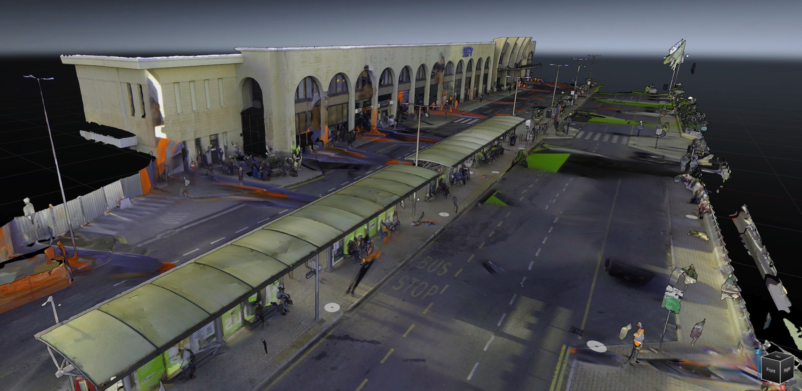
Before GeoCloud, delivering a project meant sending links to files nobody could open without the right software. Now I share a browser link, and the client is inside the 3D data in seconds
Clive Bugeja | Founder and OwnerReality Capture – Survey Solutions
About Reality Capture – Survey Solutions (RCSS)
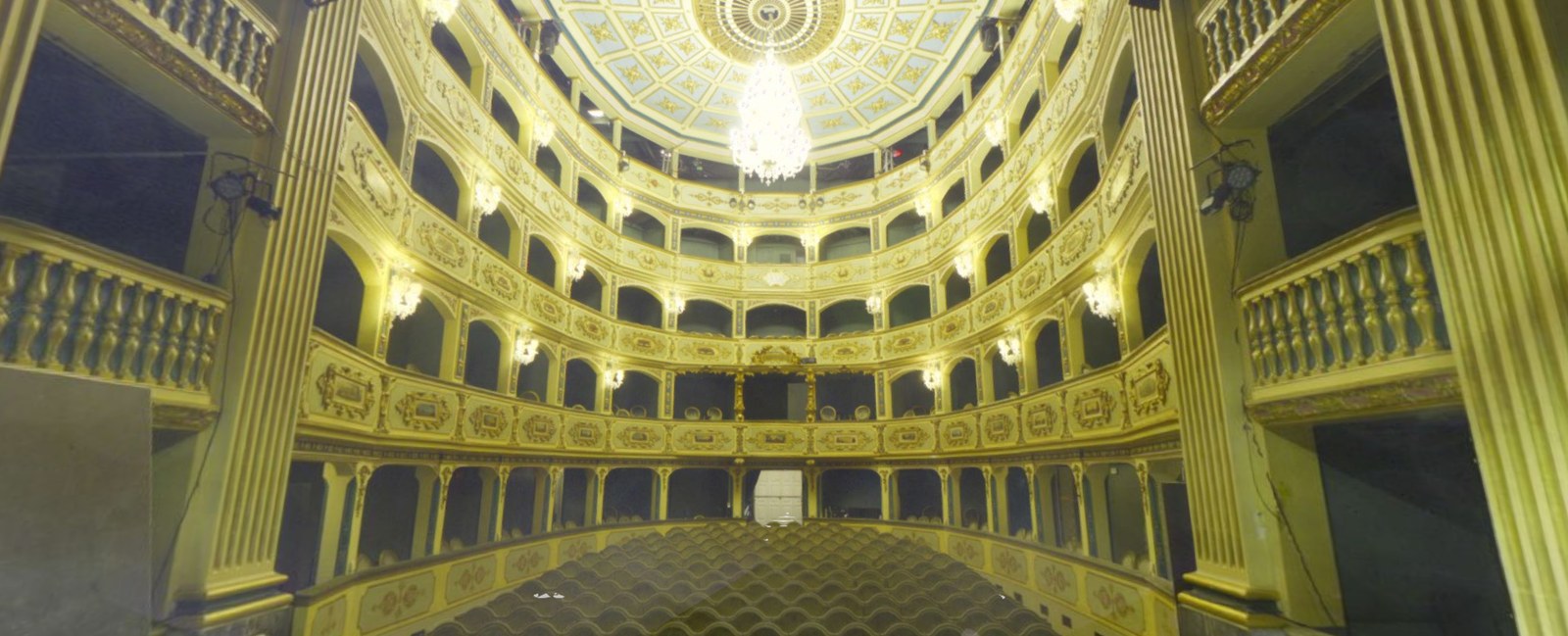
Reality Capture – Survey Solutions (RCSS) is an emerging leader in advanced surveying in Malta. They deliver high-fidelity reality capture services across architecture, construction, and heritage environments. Their proven capability also extends into maritime applications, including luxury yacht scanning and hull classification.
This is a specialised field in which Clive Bugeja brings direct prior experience. He has already demonstrated it at an international level, using the same Leica Geosystems scanner technology that sits at the core of every RCSS project.
Drawing on over 15 years of industry experience, Founder and owner Clive Bugeja established RCSS to bring precision point cloud capture and modern cloud-based workflows to Malta. RCSS combines precise Leica RTC360 point cloud capture with 2D drawing production and cloud-based delivery that streamlines data for architects, engineers, and BIM specialists. This approach is helping shape the next generation of digital delivery in Malta, advancing 3D environments, connected workflows, and scalable digital twin adoption.
There’s only one version of the truth now. Everyone—the architect, the engineer, my BIM specialist is working from the same dataset, and I control what they see and when.
Clive Bugeja | Founder and OwnerReality Capture – Survey Solutions

Read on to get the full story.
Challenges
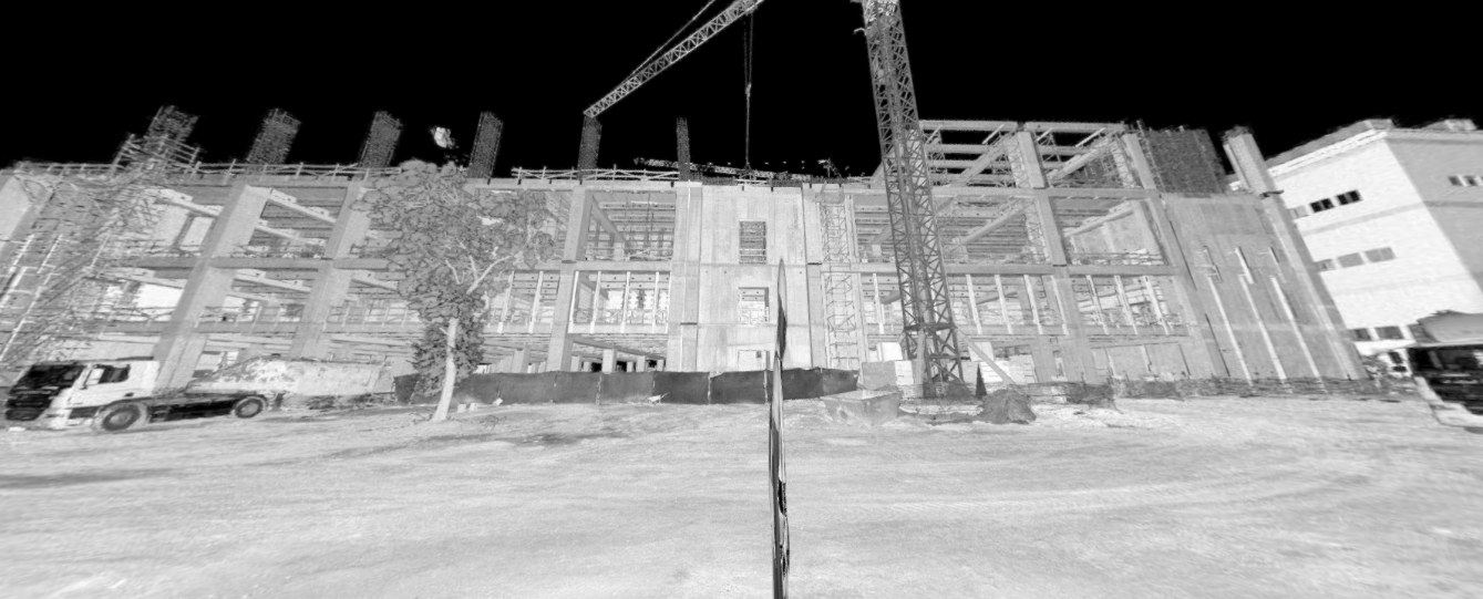
As RCSS scaled its reality capture services, managing and sharing large datasets became a major operational challenge. Teams relied on a patchwork of static PDFs, FTP servers, external hard drives and disparate storage systems to distribute data across specialised stakeholders and clients.
At the same time, hosting large panoramic datasets internally placed increasing pressure on website performance and storage infrastructure. Projects frequently involved RCP files exceeding 100 GB, driving up IT demands and complicating storage limits, transfer times and cost control. The process of manually embedding panoramic images into static PDFs for each scan location was time-intensive, requiring multiple file uploads to FTP servers and individual linking for every deliverable.
As a result, sharing visualisations remained slow and inefficient, limiting collaboration and delaying review cycles. With datasets continuing to grow in size and complexity, the risk of data loss increased, while the absence of a centralised solution created communication bottlenecks across stakeholders and reduced overall delivery efficiency.
Solution
With Hexagon GeoCloud, RCSS has redefined how geodata is managed, shared and delivered, removing the inefficiencies of fragmented workflows and enabling faster, more scalable collaboration across all stakeholders. Acting as a single source of truth, GeoCloud ensures that every team member works from the most up-to-date dataset, improving alignment, increasing confidence in the data, and reducing costly rework.
GeoCloud connects RCSS’s entire Leica Geosystems and BIM ecosystem into a single, seamless workflow. This includes Leica Cyclone REGISTER 360 PLUS, Leica CloudWorx for Revit, Leica Cyclone 3DR, Leica CloudWorx for BricsCAD BIM. Using the full Leica reality capture portfolio, data seamlessly passes from the RTC360 to the office software for final quality validation and then delivery via the cloud. This eliminates reliance on FTP servers, external hard drives and fragmented storage platforms.
This shift simplifies data distribution and removes version control challenges, ensuring all stakeholders work from the same up-to-date data. For BIM workflows, GeoCloud removes heavy file handling by streaming point clouds directly into Revit and BricsCAD BIM via the CloudWorx plugin, eliminating downloads while maintaining performance and accuracy. This enables BIM teams to start working immediately with full-resolution data, without the delays and limitations of traditional file transfers.
AI-powered classification in GeoCloud accelerates Scan-to-BIM workflows further, automatically cleaning and structuring datasets to simplify the modelling process. This significantly reduces manual effort and delivers faster, more efficient downstream modelling and analysis. And when more customisable or specialised deliverables are needed, such as for luxury yachts, Cyclone 3DR provides the same type of cloud-based streaming with added custom scripting and advanced analyses.
GeoCloud reduces the burden on IT infrastructure and storage by optimising how large datasets are managed and delivered. Projects that previously required 100 GB+ RCP files can now be delivered as lightweight LGSx files under 20 GB, accelerating uploads and data sharing while reducing storage costs. Panoramic images and visualisations are streamed through the cloud, removing the need for internal hosting and freeing up valuable storage capacity on RCSS’ own servers and systems.
Value
By adopting Hexagon GeoCloud, RCSS achieved measurable gains in efficiency, scalability, and overall business performance. Uploading and sharing project data that previously required overnight transfers of 100 GB+ RCP files can now be done in under an hour using lightweight LGSx files via GeoCloud.
Operational efficiency improved as manual effort was reduced across key processes as a result of built-in meshing, AI-powered classification, and CAD plugin integration for Scan-to-BIM capabilities eliminating repetitive tasks, enabling teams to move from capture to modelling and analysis more quickly.
Direct streaming of classified point clouds into BIM environments via CloudWorx further accelerated BIM delivery for RCSS’s specialised stakeholders, allowing them to work with full-resolution reality capture data instantly without the delays associated with traditional file handling and more efficiently with trade-aligned classification to filter and focus point cloud views.
“We found that cloud-based link sharing helped teams collaborate up to 60% faster, removing the manual file transfers and upload delays that slow large datasets down,” Bujega said. “It all runs from a browser, with no specialist software needed for end-users. Improved access to project data strengthened coordination across internal teams, partners and clients, reducing delays, shortening review cycles, and enabling teams to take on more projects.”
As a result, he says RCSS can now expand more effectively and take on a higher volume of projects without increasing manual effort. Geodata visualisations within GeoCloud have evolved into a client-facing deliverable that enhances engagement, reinforces expertise with clients, and supports long-term business growth.
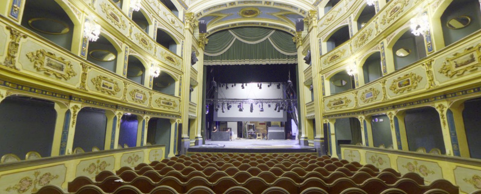
The meshes come out clean and ready to use. I do not need to do any additional processing, which saves hours of work; time I can reinvest directly into the next project.
Clive Bugeja | Founder and OwnerReality Capture – Survey Solutions